Three industries that reap the benefits of drones
17 May 2022
Technology
Technology
Commercial drones have reshaped the way certain industries operate, helping them become safer, more efficient and better informed through enhanced data collection. What unique benefits do commercial drones offer different industries? What type of work does a drone pilot typically do? Read on to learn about commercial drone use across three industries: agriculture, energy and mining.
Commercial drones offer advantages that organisations could scarcely have imagined a few decades ago. Australia was one of the first countries to legislate commercial drone use in 2002 and by 2012 the drone industry really began to take flight around the world. As more industries recognise the benefits of this technology, commercial drone use continues to soar, with the global drone market anticipated to reach US$41.3 billion by 2026.
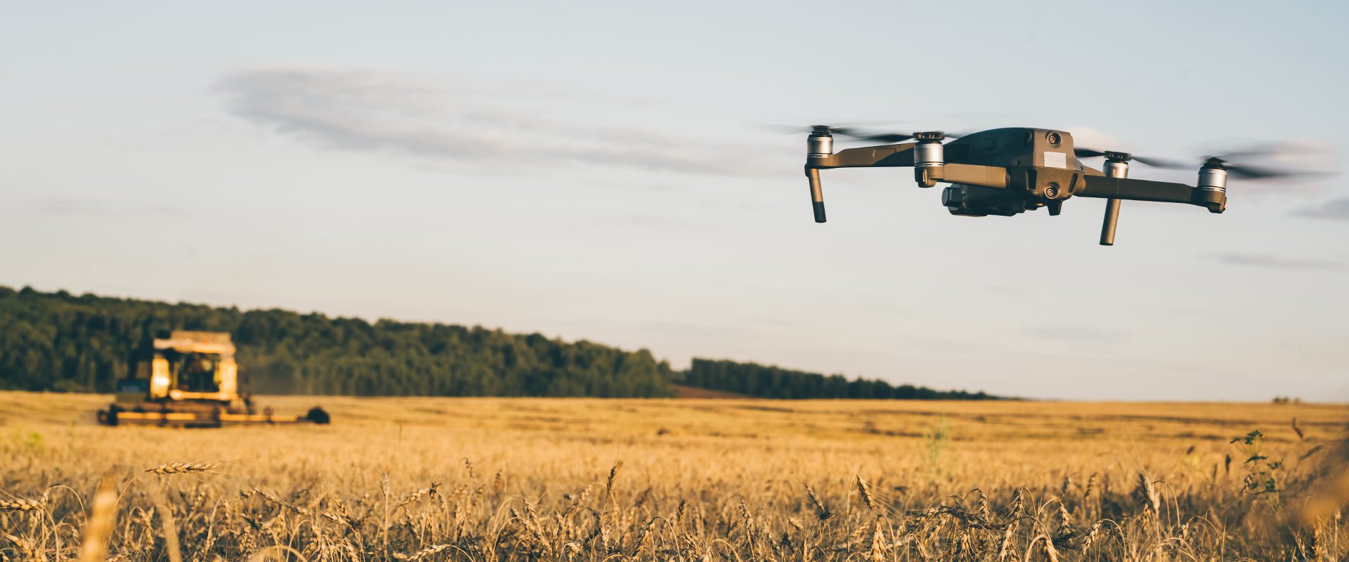
While the agricultural industry has been slower than some other industries to adopt drone technology, the significant benefits it offers are beginning to be recognised and a strong uptick in future drone use is anticipated. One of the key advantages drones can offer a farmer is the production of a ‘Normalised Difference Vegetation Index map (NDVI)’, which identifies the specific location of plants and how well each plant is doing.
Software can process the raw data collected and produce reports for farmers indicating potential problem areas, along with suggested actions to remedy the problems. This technology creates obvious advantages for a farmer by offering a bird’s eye view without requiring hours of traipsing through fields to collect the same data.
Drone pilots in agriculture have a fairly straightforward job. The main skillset required is being able to fly a drone safely and efficiently - typically a lot of ground needs to be covered to collect data for the NDVI, but once collected, the software will do most of the work required to process and present the findings.
Typical duties include:

The energy sector was an early adopter of drone technology. The oil and gas industry quickly recognised the advantages of using drones to inspect and maintain pipelines, especially near-impossible-to-access subterranean and underwater lines. Drones enable the detection of gas leaks and the rapid reporting of emergencies such as a pipeline rupture. In the renewable energy sector, drones dramatically reduce the risk of inspecting powerlines, solar panels and wind turbines – without drones, crews have to risk dangerous heights and potential electrocution to carry out the same work.
Drone pilots in the energy sector require technical knowledge to inspect solar panels, power lines and other energy-related infrastructure. Knowledge of aerial thermography is required for solar panel inspections and certain power line inspections. Strong drone flying skills are also required: it can be challenging to operate drones close to power lines due to magnetic interference, and flying too close could potentially fry your drone.
Typical duties include:

The mining industry uses drones to survey large areas onsite, keeping tabs on where their materials are located and how work is progressing. Drones are also used to assist with planning work: using a 3D map created with aerial data from a drone, companies can identify prime locations for digging and storing materials, without the hours of legwork which would otherwise be required. Drones also reduce risk, enabling data collection from potentially dangerous areas of sites.
Drone pilots in the mining industry need to have experience conducting surveys by drone and interpreting the data. Whether an orthomosaic map, photos or video footage, drone operators need an understanding of how to use the data to help guide planning efforts or provide insight on a project. Some mining companies employ drone pilots in-house on a full-time basis, demonstrating the industry need for this skillset.
Typical duties include:

Drones offer the potential for companies to reimagine the way they operate. As more industries recognise the benefits of drone technology, drones will increasingly reshape the workforce. Drone pilots are already in demand, and career opportunities for drone pilots will continue to flourish in the future as more companies embrace the obvious efficiencies, safety improvements and enhanced data capture drones provide. For companies investing in drones, and individuals investing in the skillsets to work with drones, the sky is truly the limit.
Brunel's technology experts can connect you with the skilled infrastructure, operational technology and connectivity specialists your business needs to thrive.